The world’s largest companies trust TomTom. Are you ready to join them?
TomTom Orbis Maps APIs are now in Public Preview

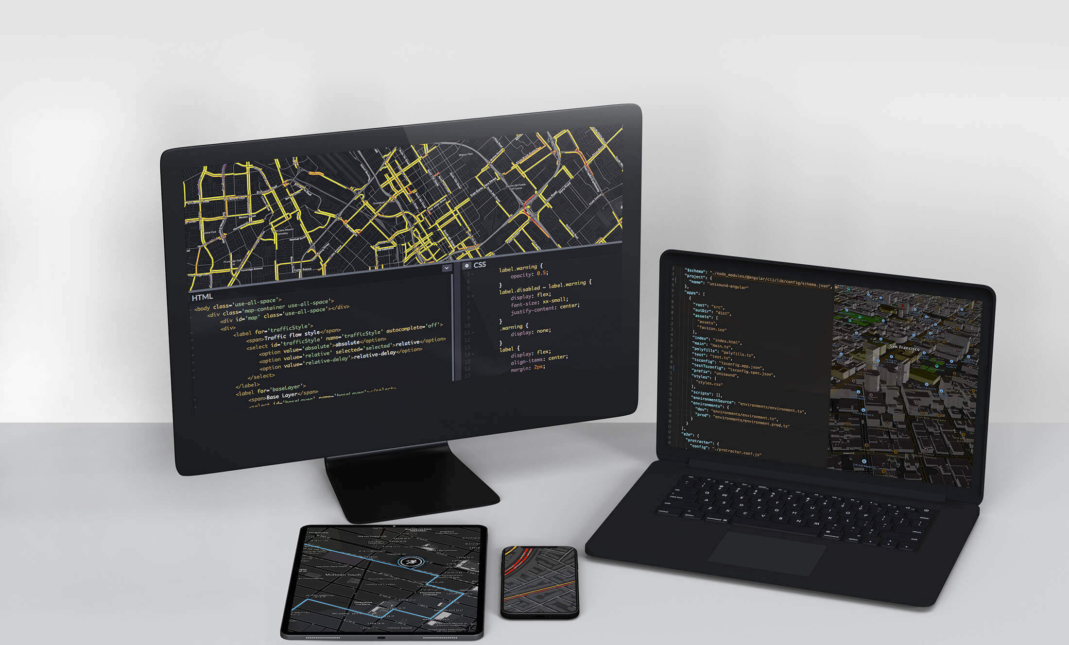
Location technology for developers
Build your application with accurate Maps, Places, Navigation, Traffic and Tracking SDKs and APIs, trusted by the world’s biggest companies.
Build a complete maps, navigation or automotive experience with minimal development effort.
Maps SDKs
Bring additional context to our world with TomTom’s dynamic Maps SDK. Build with accurate and fresh maps that can be customized to your specific use case.
Integrate mapping features into your location-based applications or systems.
Automotive APIs
Use maps for vehicle platforms and operating systems, while fetching current data on fuel prices and parking availability.
Maps API
Display the essential visualization layer of our maps in either raster or vector format for web or mobile applications.
Routing APIs
Calculate accurate routes that use multiple road variables, vehicle types, engine types, and an optimized waypoint ordering.
Places APIs
Help users locate their intended destination quickly & safely with advanced geocoding and entry-point accuracy.
Traffic APIs
With real-time and historical traffic insights, users avoid traffic while accounting for multiple variables. We deliver a variety of formats.
Tracking & Logistics APIs
Build fleet management mapped in real time. Fleet accounting, post-route analysis, perimeter boundaries and monitoring complete the picture.
Giving you access to even more environments to craft maps for your unique needs.
Map Maker
The TomTom map editor with simple and advanced styling capabilities empowers you to create the map you need, perfectly fitting your unique brand and use case.
Explore TomTom's developer resources
All the documentation and tutorials that you need start building your location-based app today.
community

Blog
Check out our blog for getting started tutorials, use cases, customer testimonials and developer spotlights.
Read more

Documentation
Examples, tutorials, code snippets and references to help you start building your project.
Read more

Knowledge Base
Find technical documentation including detailed articles and FAQs to help you successfully use our software products.
Read more

Github
Code snippets, repositories and examples that enable fast development.
Read more