Introduction

Last edit: 2024.06.04
TomTom Orbis Maps

Important notes:

TomTom Orbis Maps

Made to simplify integration and accelerate innovation, our mapping platform integrates open and proprietary data sources to deliver the world’s freshest, richest, most accurate maps. Maximize what you can do for your customers and business with a future-proof map, based on a standard co-created with the biggest names in tech.

TomTom Orbis Maps starts with a base of interoperable reference map data that we create as part of the Overture Maps Foundation. From here, you can effortlessly combine your own datasets with high-quality open and proprietary map data layers validated by our AI native platform. Layer by layer, you can conquer your biggest challenges.

You can dive into a demo to get a taste of the Orbis APIs and then into the docs to start testing.

TomTom Orbis Maps APIs

TomTom Orbis Maps contains a suite of RESTful APIs designed for developers to create web and mobile applications, and consists of the following APIs with their endpoints:

Map Display API

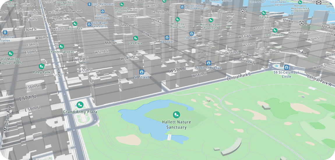
Display the essential visualization layers of our maps in either raster or vector format for web or mobile applications. Use standard map styles or create your own for a mapping experience that stands out from the crowd.

Routing API

Calculate most suitable routes routes, passing through waypoints, if specified. Get accurate travel times and ETAs, powered by TomTom live and historic traffic.

Search API

Use single-line fuzzy search to connect your users to accurate and meaningful search results and support seamless discovery of Points of Interest (POIs) Use typeahead, autocorrect, geobias and more to offer an optimal search experience.

EV Search API

EV Search is a REST API optimized for electric vehicle stations POI category. It provides complete EV POI data.

Geocoding API

Converts addresses into geographic coordinates. Effectively handle addresses that may be incomplete, incorrectly formatted, or contain typos, to provide the best possible result.

Reverse Geocoding API

Convert geographic coordinates into street address, street element or a geography.

Traffic API

Access real-time traffic information, including incident reporting and live road speed data. Get vector or raster tiles to overlay traffic information on maps for web and mobile applications. 

Intermediate Traffic API

The TomTom Intermediate Traffic API enables business customers to download real-time TomTom traffic data for their server-based systems. Traffic data includes OSM IDs for location referencing to Orbis and OSM, as well as map-agnostic OpenLRs.

TomTom Navigation SDK

The Navigation SDK helps you bring map visualization, location search and handling, and driver guidance to your Android application with minimal effort. Now you can integrate Orbis features in your application by following this guide:

Map Maker

This TomTom map editor with simple and advanced styling capabilities empowers you to create the map you need, perfectly fitting your unique brand and use case. Easily integrate TomTom map styles within your Figma designs.