5 Cool Ways to Use Maps APIs
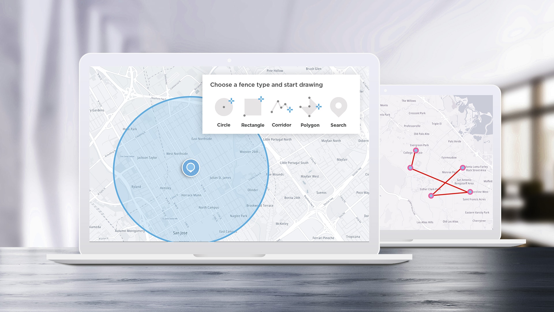
APIs are designed to help developers build applications easier and faster, and SDKs help speed up the process by turning some of the most complex APIs into even easier-to-use functions. We’ll take a look at some of the most interesting ideas we see the TomTom Maps SDK for Web being used for and how to implement them.
Apr 12, 2023 · 9 min read
Read More
Read More
)
build different
TomTom MCP Apps: When Your AI Agent Gets Eyes on the Map
We launched the TomTom MCP Server to Public Preview in October to give AI agents direct access to our geospatial platform: search, routing, traffic, the works, all through the Model Context Protocol.
Feb 20, 2026·5 min read
)
build different
TomTom Model Context Protocol (MCP) server
TomTom Model Context Protocol (MCP) server
Jul 07, 2025·4 min read
)
build different
Make your mark: Customizing map icons with TomTom Map Maker
At TomTom, we empower developers and designers to craft unique map experiences that support the navigation goals of drivers. With TomTom Map Maker, you can change the visual appearance of the Orbis map style to fit your design vision—from foundation colors and modules to the nitty-gritty details in layers. And now, with the latest Map Maker update, custom map icons are at your fingertips.
Jun 05, 2025
)
build different
Map Maker features you wish you knew earlier
Explore the latest enhancements in Map Maker, including advanced POI filtering, search, reverting styles and more.
Mar 24, 2025
)
build different
Create your application map using TomTom Map Maker.
Are you looking for a personalized map experience in your application? Try TomTom Map Maker — a cloud tool to help you create and customize maps that reflect your brand.
Nov 15, 2024·5 min read
)
build different
How to route navigation apps right for fleet and logistics vehicles
Every developer working on routing applications should know this: using a standard navigation app for fleet vehicles is like trying to fit a square peg into a round hole.
Jul 16, 2024
)
spotlight
Elevate Your Mapping Experience: Introducing Enhanced DEM and Hillshade in Our Maps
We're excited to introduce our enhanced Digital Elevation Model (DEM), adding a whole new dimension to your mapping experience.
Dec 04, 2023·4 min read
)
build different
Snap to Roads Ownership Rebates in Australia and New Zealand
New Zealand and Australia reimburse businesses for vehicles used offroad for business purposes. TomTom’s Snap to Roads API can be incorporated into a Python application that tracks the distance and fuel spent off public roads for businesses looking to claim this rebate.
Jan 20, 2023·8 min read
Page 0 of 28
1
...
-2
-1
0
1
2
...
28
Get the developer newsletter.
No marketing fluff. Tech content only.
* Required field. By submitting your contact details to TomTom, you agree that we can contact you about marketing offers, newsletters, or to invite you to webinars and events. We could further personalize the content that you receive via cookies. You can unsubscribe at any time by the link included in our emails. Review our privacy policy.