Introduction
Important notes:
- This TomTom Orbis API is in public preview.
- This API is powered by TomTom Orbis Maps.
- See the TomTom Orbis Maps documentation for more information.
What is the TomTom Orbis Maps Reverse Geocoding API?
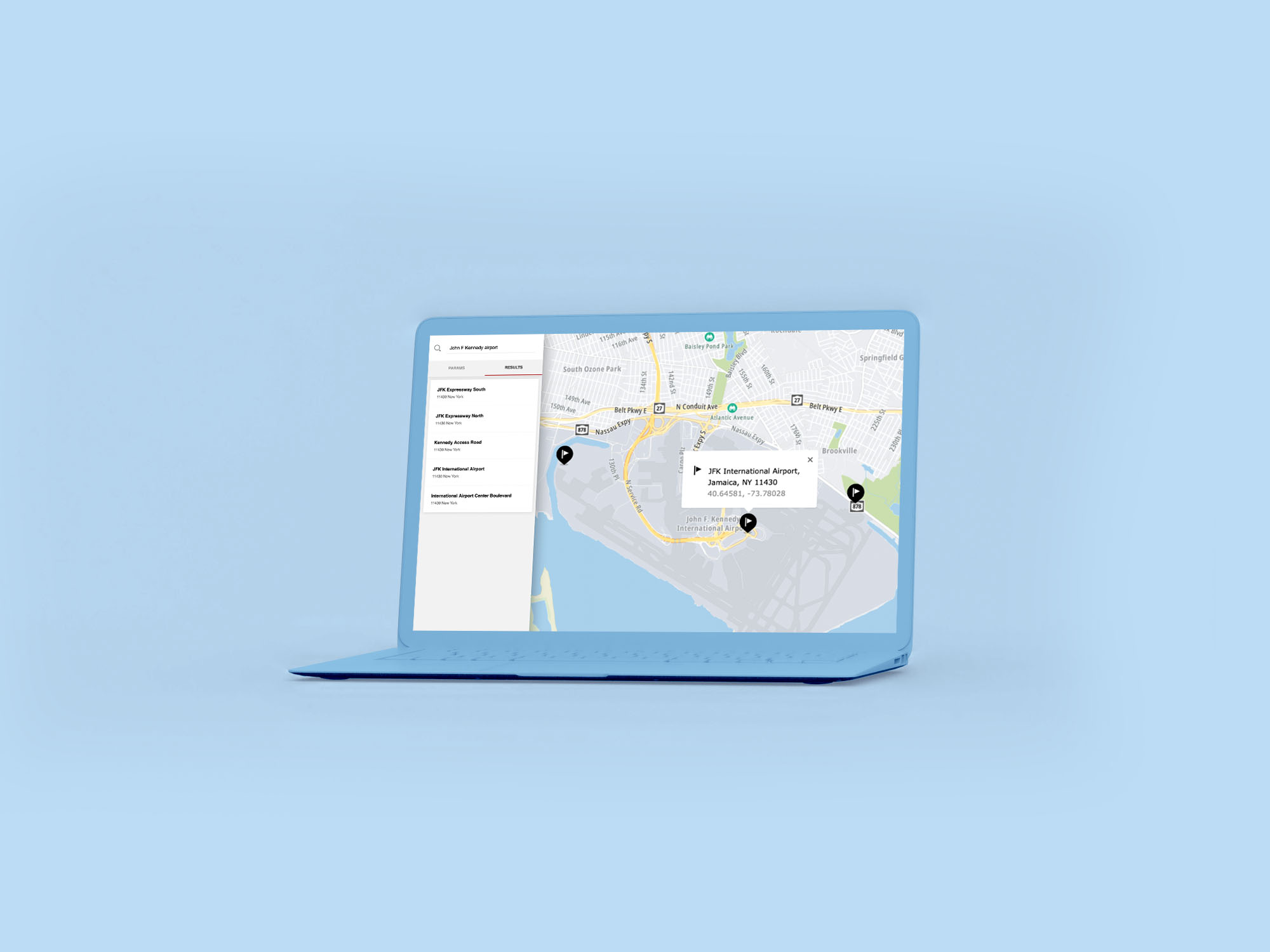
The TomTom Orbis Maps Reverse Geocoding API gives users a tool to translate a coordinate (for example: 37.786505, -122.3862) into a human-understandable street address, street element, or geography. Most often, this is needed in tracking applications where you receive a GPS feed from the device or asset and you want to know the address.
The Reverse Geocoding API consists of the following endpoint:
Reverse Geocode
Translates coordinates into human-readable addresses.
Common use cases
- GPS Fleet tracking / Fleet management.
- Delivery tracking / pickup and drop-off transportation service support (Ride Hailing Apps).
- Geo data analytics, for example: grouping data by post code/city or any other selected administrative unit.
Features
- Limiting result details only to the selected geography level (like a PostalCodeArea).
- Geopolitical views support.
- Basic speed limit restriction information for the closest road element (if available).
Getting started
Check these links to get started with the Reverse Geocoding API:
How to get a TomTom API Key
When you use our location Service APIs, we need a way to identify that it is your application that is making the request to use the service (API).

Reverse Geocoding with the Map SDK
One of the easiest ways to integrate Reverse Geocoding in your application