Raster service
Important notes:
- This TomTom Orbis API is in public preview.
- This API is powered by TomTom Orbis Maps.
- See the TomTom Orbis Maps documentation for more information.
Purpose
The Map Display API Raster web services suite offers the following service endpoints:
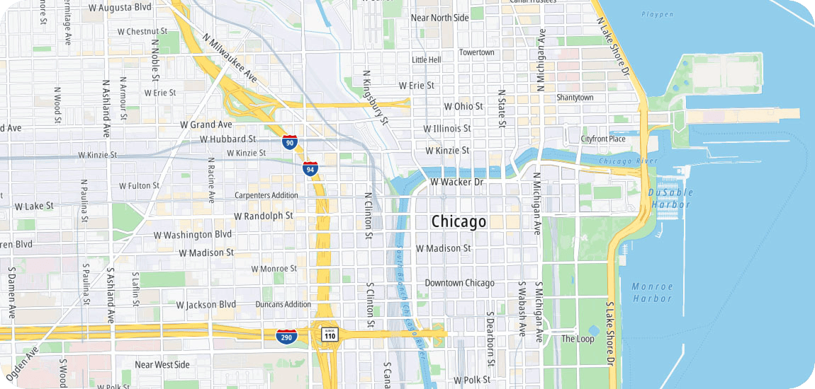
Map Tile
The Map Display API Raster Map Tile endpoint renders map data that is divided into gridded sections called tiles.
Satellite Tile
The Map Display API Raster Satellite Tile endpoint provides satellite map data that is divided into gridded sections called tiles.
Hillshade Tile
The Map Display API Raster Hillshade Tile endpoint provides hillshade map data that is divided into gridded sections called tiles.
Map Tile
TomTom's global digital map content comprises a large volume of data, which is divided into gridded sections called tiles to efficiently transmit map images for display over the Internet to multiple users simultaneously.
- The tiles are rendered at various sizes and available at 23 different zoom levels, ranging from 0 to 22.
- For zoom level 0, the entire earth is displayed on one single tile, while at zoom level 22, the world is divided into 244 tiles.
Satellite Tile
TomTom's global digital map content comprises a large volume of data, and to efficiently transmit satellite map images for display over the Internet simultaneously to multiple users, the data are divided into gridded sections called tiles.
- The tiles are available at 20 different zoom levels, ranging from
0to19. - For zoom level
0, the entire earth is displayed on one single tile, while at zoom level19, the world is divided into 238 tiles.
Hillshade Tile
The Hillshade Tile service provides an image pyramid that contains elevation data with terrain representation. It can be used for rendering hillshade that shows the topographical shape of hills and mountains. The data are divided into gridded sections called tiles.
- The tiles are available at 14 different zoom levels, ranging from
0to13.