Introduction
Important notes
- This TomTom Orbis API is in public preview.
- This API is powered by TomTom Orbis Maps.
- See the TomTom Orbis Maps documentation for more information.
What is TomTom's Geocoding API?
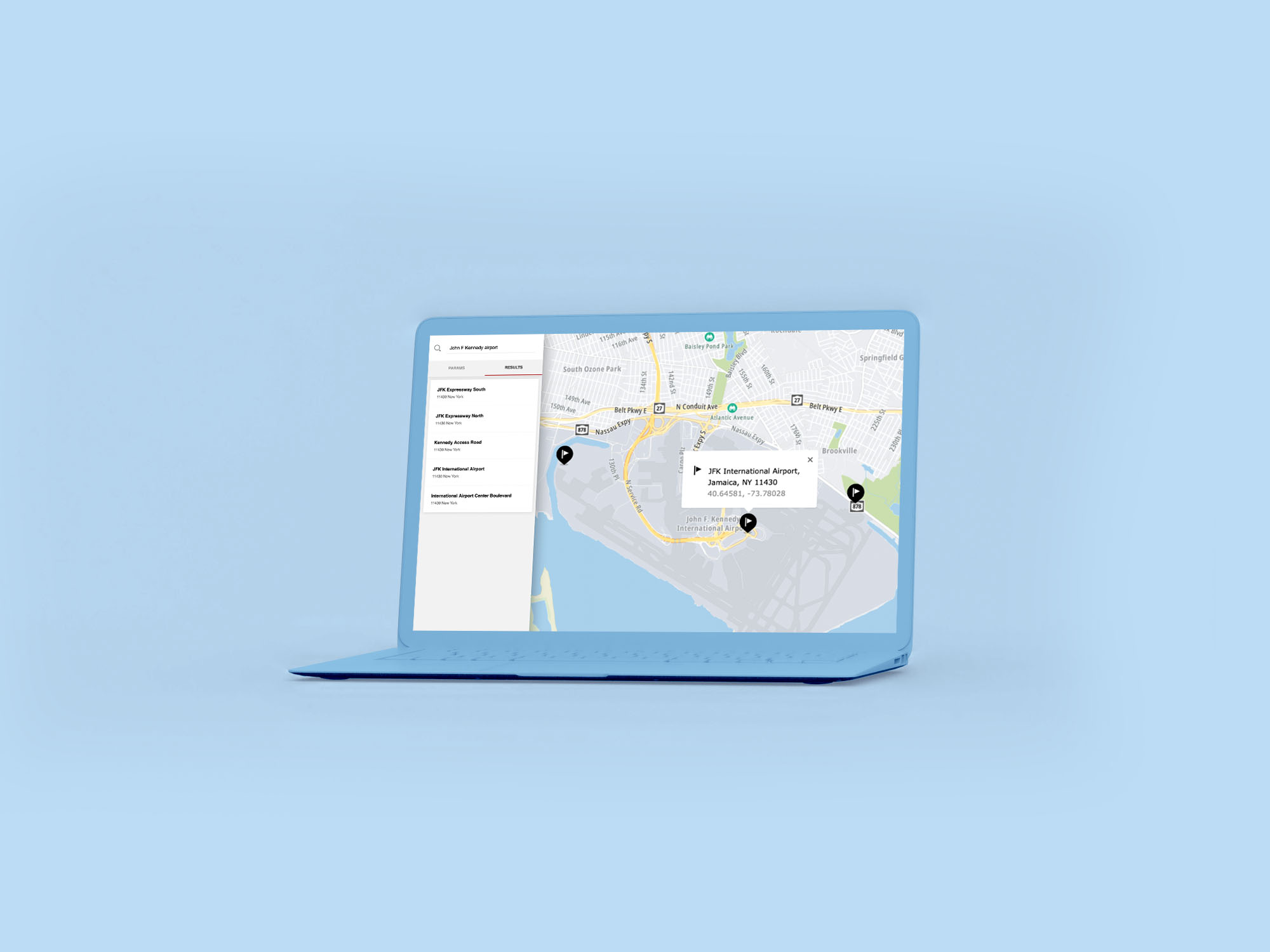
Geocoding is the process of converting addresses (like "109 Park Row, New York, United States") into geographic coordinates ("lat": 40.71226,"lon": -74.00207). Use the Geocoding API when you want to resolve complete addresses (for example, “109 Park Row, New York, United States”). The Geocoding API can also geocode partial addresses and those with typos.
Geocoding API. When to use? When not to use?
The TomTom Geocoding API is designed for machine-to-machine interaction: a machine sends a full query string (i.e., a full address for example, “109 Park Row, New York, United States”) and wants to have the best result. It can be also used by automated systems to geocode addresses that are incomplete, not well formatted, or with typos. The requesting machine should be able to automatically determine if the result(s) is (are) good enough.
For human-to-machine interaction, when a person is usually typing a query letter-by-letter and wants to see the results, use Fuzzy Search. It is built to return the best/correct results with the least amount of characters.
The Geocoding API consists of the following endpoint:
Geocode
Use the geocode endpoint when you just have an address or a partial address.
Structured Geocode
Use the structured geocoding endpoint when you have data that has already been split into multiple fields such as streetNumber, streetName, city/town, and postal code.
Common use cases
- Get the coordinates to locate the place:
- To deliver or pickup a delivery.
- To pick up and drop off passengers.
- Do route planning.
- Address verification.
- Data cleaning.
- Data enhancement.
- Get boundaries, geometries.
- Resolve address issues in user apps which are not human-to-machine interactions.
Getting started
Check these links to get started with the Geocoding API:
How to get a TomTom API Key
When you use our location Service APIs, we need a way to identify that it is your application that is making the request to use the service (API).

Best Practices for Geocoding
In this article, we’ll explore best practices for geocoding more effectively with TomTom’s Geocoding API.