)
Capturing and displaying complex geographical and statistical information on maps is crucial to many researchers. Once upon a time, you'd have to manually capture location information, and needed specialized software to crunch data and create digital maps. Today, TomTom location APIs and SDKs and a little programming knowledge make sophisticated mapping applications available to anyone. In this article we'll examine five ways mapping can be used to further academic research, highlighting examples in each case that can be made easier with TomTom mapping products.
Capturing and displaying complex geographical and statistical information on maps is a dynamic and effective tool in the 21st century. Researchers in fields from archaeology to zoology commonly collect location-based data in their studies, analyze location and movement in their research, and need to display that mapped data in their findings.
We expect that academic researchers are skilled in their specialized field but, understandably, may be unfamiliar with how easy it has become to use modern digitized mapping technologies. Incorporating maps does require some technical knowledge. It doesn't hurt to understand analysis of spatial databases, programming, and cartography… though the use of statistical programming tools and specialized software is increasingly common in academics. It's not uncommon for people to expect they'll need a lot of specialized knowledge and difficult to understand software.
Although some universities are helping to close this knowledge gap by providing courses that covering the basic concepts, it’s hoped that in this article we can also help by examining the top five ways mapping can be used to further academic research, and by highlighting examples in each case that can be made easier with TomTom mapping products.
Mapping Biodiversity of Plants and Animals
Rigorous research is crucial in the areas of natural resource accounting, extinction rates of plants and animals, and measuring and assessing the changing levels of biodiversity, including agrobiodiversity. Simple linear studies can lead to mistakes such as the infamous Club of Rome’s incorrect prediction about the depletion of world resources by the year 2000. However, when thorough, accurate research and modelling is combined with effective presentation tools using digitized mapping, complex, vital information can be communicated to a wide audience.
If your investigation involves stationary objects that change in value, quantity, or population levels over time, the TomTom Mapping API and SDKs provide a fantastic heat map option that can take GeoJSON data (data that holds both geographical coordinates and values, such as population levels) and display this data with varying colors, depending on the data values. Patterns and clustering of data points becomes much clearer than with many other methods of representation.

To visualize changes across time in your dataset, convert your raw time-series data into an array of GeoJSON objects, one element for each year or other relevant time unit, then just cycle through the GeoJSON dataset.
Mapping Mineral and Energy Resources
Growing levels of urbanization and globalization are increasing pressure on countries to ensure adequate levels of food, fish, and fresh water stocks and to continually balance mineral and energy resources for their respective populations. Maps and mapping are valuable aids for presenting research data, clearly depicting the extent of existing resources and highlighting discoveries of new resources.
To represent economic data and trends geographically, again the TomTom Mapping API heat map is a great option. Alternatively, if your data has quite definite boundaries, as fishing zones, mining leases, or arable areas of land typically do, you could map your data using GeoJSON polygons, for example, or shaded polygons.

TomTom APIs also provide options such as custom markers and marker clustering.
Mapping data can be accessed from government agencies, mining companies, and universities. In the USA, you can obtain mineral data via USGS Mineral Resources Online Spatial Data for federal level data, and regional, state-based information through university sources such as the Wisconsin Geologic and Natural History Survey (WGNHS).
The Australian government sponsors a project to help identify new mineral sources in the Mineral Potential Mapper. This innovative project provides access to many different datasets, including unique data that describes the processes involved in the formation of various types of mineral deposits.
Mapping Impact of Plants and Animals in the Environment
Digitized mapping is able to not only represent data in fixed locations, but also readily identify data that moves geographically, to monitor fluctuations in quantity or intensity over time.
As an invasive plant species or insect pest spreads, many factors may be relevant to predict and minimize environmental impact. Useful indicators requiring measurement and monitoring may include changes to the human population, changes in the physical environment, and tracking of a specific plant or insect population as it moves from one location to another. Early detection and information gathering enable researchers and decision makers to make accurate assessment and develop effective strategies. A number of groups have created apps to rapidly capture data that’s then linked to maps to provide live or near-live data updates.
The University of Georgia created EDDMapS to map and track invasive species in the United States. In Croatia, the Center for Invasive Species (CIV) and the GIS Group are monitoring an invasive species of mosquito as well as several invasive plants.
You can create your own data collection with the TomTom Maps SDK, using either web appS or some of TomTom’s full-featured mobile phone mapping products, including the Maps SDK for iOS and Maps SDK for Android.
Mapping Migrations of People, Plants, and Animals
The movement of people, plants, and animals, and the geographical movement of other objects, can be tracked using a GPS tracker. This is a ready-to-use data source that can be streamlined with the TomTom Geofencing API, with real-time tracking, and display as well notifications when a tracked object moves out of a given boundary or “geofence.” Additionally, the TomTom Location History API tracks locations over time.

Mapping People Groups: Anthropology and Archaeology
Mapping and GIS are particularly useful tools for archaeologists and anthropologists. The relatively new term Geohumanities describes the intersection of mapping with archaeology, history, literature, and social sciences.
A great deal of interest has been generated in archaeological research following work that combines aerial photos and traditional maps and data from field work, such as field walking surveys, to map people groups from the past and today. Researchers at PaintMyChromosomes have mapped the spread of genetic material against people groups, time, and location.
Researcher Enrique Cerrillo Cuenca has done ground-breaking work, without actually digging or breaking any ground, by combining computer vision and machine learning techniques that analyze photos in conjunction with spatial datasets to achieve semi-automatic detection of new archaeological sites.
What's Next?
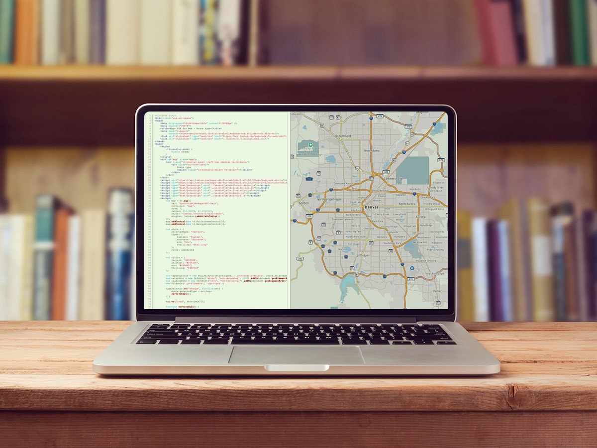
If you’re a developer assisting an academic or researcher with a little technical expertise in web development, check out the TomTom Maps API and SDKs. You’ll find a wealth of documentation as well as practical examples and samples to get you started.
To take locations from your research material and create latitude/longitude coordinates, start with the TomTom Places API products. The Geocoding API allows a place name search to create lat/long coordinates while the Reverse Geocoding API takes those coordinates to return the nearest address or place name.
Need additional data? Try sources linked from the UW-Madison GIS Research Guide, census data, NASA, and other government sources or the growing number of open data sources.
Happy mapping!