5 Cool Ways to Use Maps APIs
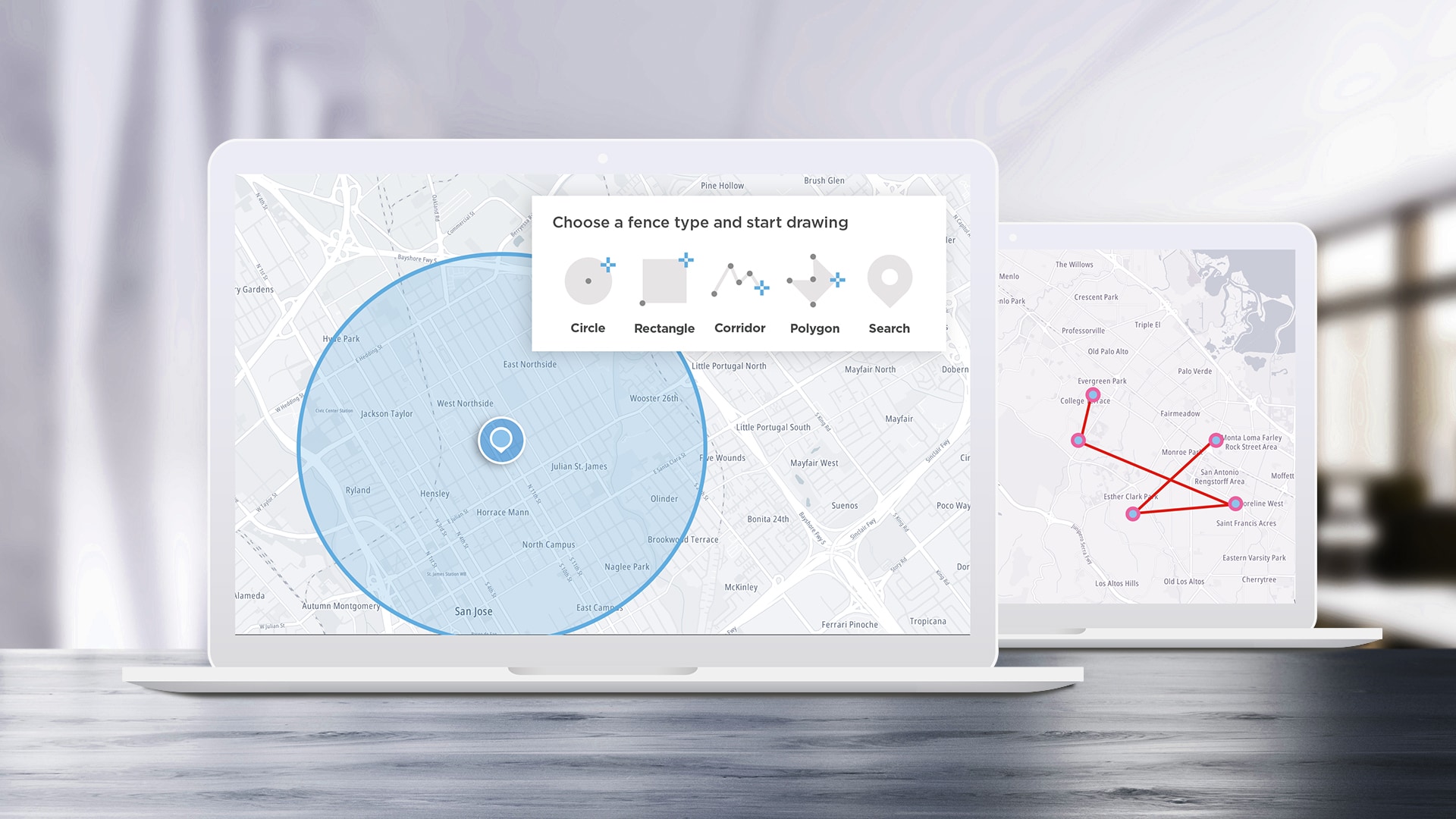
APIs are designed to help developers build applications easier and faster, and SDKs help speed up the process by turning some of the most complex APIs into even easier-to-use functions. We’ll take a look at some of the most interesting ideas we see the TomTom Maps SDK for Web being used for and how to implement them.
Apr 12, 2023 · 9 min read
Read More
Read More
#search
)
decoded
Using TomTom Maps APIs to Assist EV-Powered Food Delivery and On-Demand Services
Food delivery drivers and on-demand services are adopting electric vehicles, despite challenges finding chargers and delivering within range. Developers can use TomTom Maps APIs to create on-demand apps, helping drivers optimize their EV use and quickly get items to their destination. Learn how.
Jan 28, 2022·8 mins read
)
build different
Building a Responsive Location Search Component with a React Search Box
Modern web standards allow developers to deliver location-aware features to users based on device GPS or network information. This information could be useful on its own — but, when combined with a mapping service, this information enables many additional interesting features. This tutorial will describe how to build a responsive web application with a point of interest (POI) location search feature using the React web framework and the TomTom Search API.
Jul 29, 2020·9 mins read
)
build different
Adding EV Routing to a TomTom Web Map: Understanding the APIs
By 2040, more than half of all vehicles sold are expected to be electric. But today, Electric vehicle (EV) owners often struggle to plan trips that ensure timely and convenient access to charging facilities. In this article, the first part of a series, we'll explore how developers can use the EV Routing Service to easily create engaging and helpful applications that help EV owners plan travel routes that include charging stops.
May 28, 2020·9 mins read
)
decoded
Understanding Fuzzy Search
TomTom maps return useful results even if you misspell a search term or provide incomplete address information. In this article we'll explain how the TomTom Search API provides "fuzzy search" results for points of interest through spell-checking, nearby search options, geometric boundary searches, route searches and more.
Sep 17, 2019·7 mins read
)
decoded
What is Geocoding?
One of the most important mapping concepts you'll need to understand is "geocoding," or converting between user-readable location descriptions and computer-readable coordinates. This article explains the process of geocoding and provides some examples.
Jun 25, 2019·7 mins read
)
build different
How To Schedule Routing for Truck Drivers
TomTom’s APIs provide developers with simple access to powerful mapping and geolocation solutions. This article shows how to use the TomTom Android SDK to build an application for truck drivers. Specifically, we’ll use the SDK to determine the best route to the destination, and we’ll tell the driver when they need to leave to get there on time.
May 10, 2019·14 mins read
)
decoded
The Benefits of Geocoding and Structuring Your Address Data
Street names get misspelled or zip codes get left out – either way, Address Data is one of the most common data inaccuracies. Here’s an easy way to clean up your address data without purchasing complex quality data tools.
Apr 30, 2019·9 mins read
)
build different
Displaying Multiple Locations Using TomTom's Maps SDK
Explore different ways in which TomTom’s SDK API can be leveraged to show the location of several entities on a map at once. This blog demonstrates how to enhance map usage by with additional features and API calls.
Mar 28, 2019·9 mins read