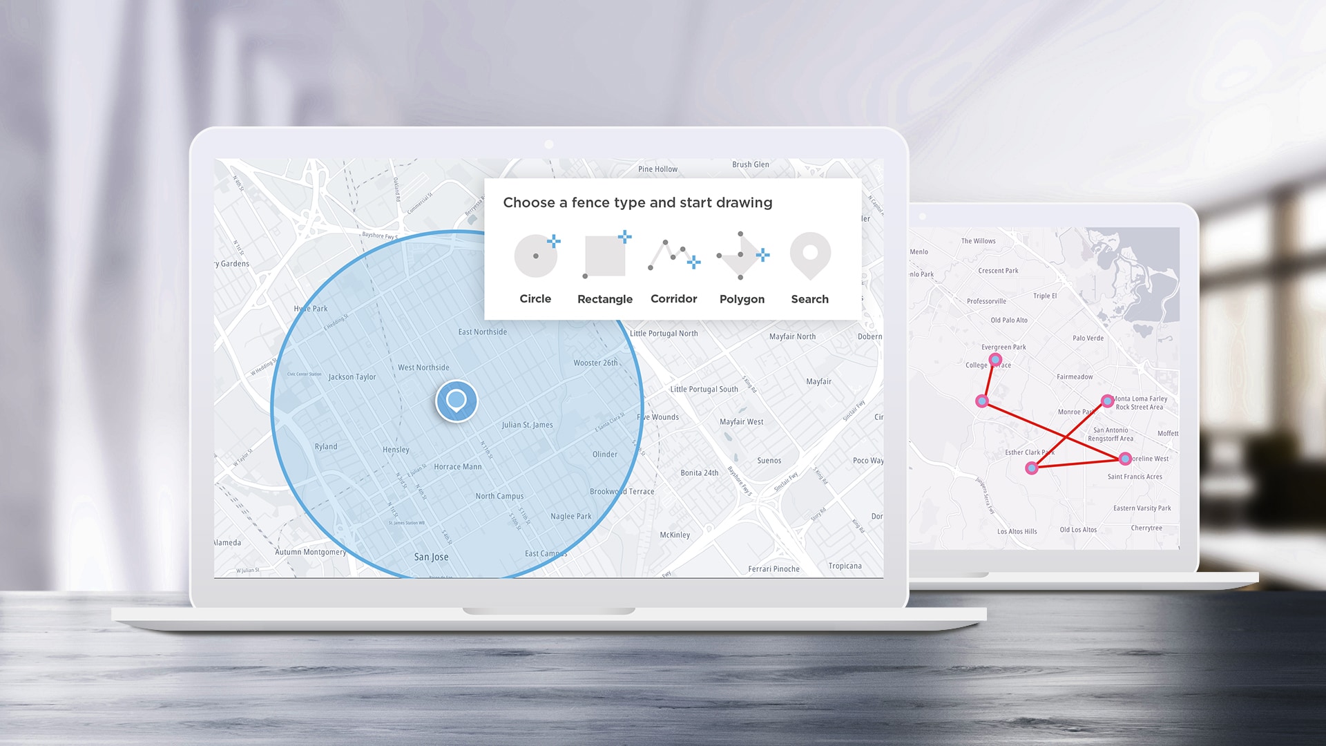
5 Cool Ways to Use Maps APIs
APIs are designed to help developers build applications easier and faster, and SDKs help speed up the process by turning some of the most complex APIs into even easier-to-use functions. We’ll take a look at some of the most interesting ideas we see the TomTom Maps SDK for Web being used for and how to implement them.
Apr 12, 2023 · 9 min read
Read More
Read More
#gis
)
spotlight
Meet the Women Mapping the World: Part 2
In honor of International Women’s Day, we interviewed women in GIS across the globe to hear about what they’re working on, their thoughts on the future of mapping, and the importance of diversity in geospatial. Here’s a follow-up to part 1 of the series.
Apr 04, 2022·8 mins read
)
spotlight
Meet the Women Mapping the World: Part 1
In honor of International Women’s Day, we interviewed women in GIS across the globe to hear about what they’re working on, their thoughts on the future of mapping, and the importance of diversity in geospatial.
Mar 07, 2022·9 mins read
)
build different
Using GeoJSON Geometry Data to Draw Borders with TomTom Maps
Geographic Information System (GIS) data can come in a lot of forms, which can lead to confusion in how to represent data. One popular solution is GeoJSON, a data standard that was created by the Internet Engineering Task Force and defines a way to organize GIS data in the JSON format natively supported by the majority of web development languages, libraries, and frameworks. In this article we’ll look at the GeoJSON format, then use a GeoJSON data set to draw regional borders on a map with TomTom JavaScript Maps SDK for Web.
Nov 16, 2019·9 mins read