5 Cool Ways to Use Maps APIs
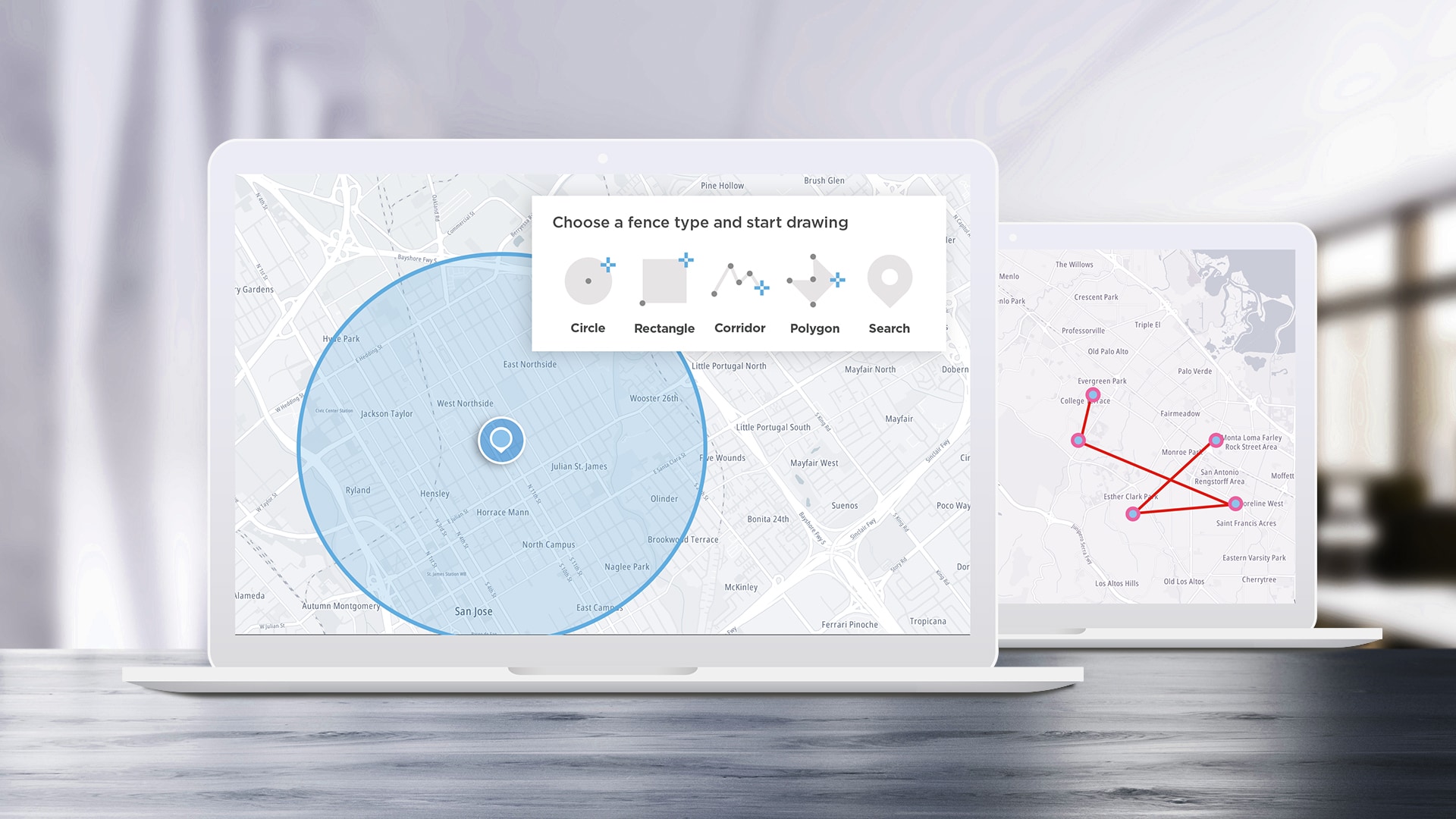
APIs are designed to help developers build applications easier and faster, and SDKs help speed up the process by turning some of the most complex APIs into even easier-to-use functions. We’ll take a look at some of the most interesting ideas we see the TomTom Maps SDK for Web being used for and how to implement them.
Apr 12, 2023 · 9 min read
Read More
Read More
#geocoding
)
decoded
Best Practices for Geocoding
This article includes a high-level discussion of geocoding. We highlight the top challenges and best practices of geocoding. We also explore why, when, and how to use geocoding in your TomTom maps.
Sep 16, 2022·5 mins read
)
decoded
Using TomTom Maps APIs to Assist EV-Powered Food Delivery and On-Demand Services
Food delivery drivers and on-demand services are adopting electric vehicles, despite challenges finding chargers and delivering within range. Developers can use TomTom Maps APIs to create on-demand apps, helping drivers optimize their EV use and quickly get items to their destination. Learn how.
Jan 28, 2022·8 mins read
decoded
Fleet Management with TomTom Geocoding and Geofencing Services
Geocoding — translating addresses into coordinates — and Geofencing — defining geographic areas to simplify location tracking — are key location technologies for fleet management software. We'll explain how you can use them to build business-critical apps.
Sep 21, 2020·9 mins read
)
decoded
What is Geofencing?
Geofencing lets us create virtual boundaries on a map that can track assets and enable us to connect our users to the things that matter the most to them. Learn more about what geofencing really is, why it’s important to use and more importantly, how simple it is to create your own geofence.
Dec 10, 2019·9 mins read
)
build different
Visualizing Filming Locations with the TomTom Maps SDK for Web
Our location services and the Maps SDK for Web make it easy for programmers to create location-aware visualizations. In this tutorial we’ll walk through an application that uses a public data set of film locations in New York City to display these locations and information about them on a map. We'll also look at the techniques you can use to understand and convert other data sources to similar mapping displays, even if they don't include latitude and longitude coordinates.
Oct 22, 2019·12 mins read
)
build different
WordPress Plugins and TomTom: Adding Routing and Geocoding
We conclude our series of articles on creating a WordPress Plugin that use the TomTom Maps and Search APIs, adding the final touch to our plugin: intelligent routing that helps a site user generate driving directions to guide them from their present location to their chosen store location. Moreover, they'll be smart directions based on current traffic conditions.
Jul 29, 2019·8 mins read
)
decoded
What is Geocoding?
One of the most important mapping concepts you'll need to understand is "geocoding," or converting between user-readable location descriptions and computer-readable coordinates. This article explains the process of geocoding and provides some examples.
Jun 25, 2019·7 mins read
)
decoded
The Benefits of Geocoding and Structuring Your Address Data
Street names get misspelled or zip codes get left out – either way, Address Data is one of the most common data inaccuracies. Here’s an easy way to clean up your address data without purchasing complex quality data tools.
Apr 30, 2019·9 mins read
Page 0 of 2
1
2